
This guide details the classic Kinder Scout via Grindsbrook Clough walk, a challenging and immensely rewarding route to the highest point in the Peak District National Park. It’s a quintessential Peak District hill walk that combines a thrilling scramble with the vast, wild expanse of the Kinder plateau, demanding respect, preparation, and a good level of fitness. For those looking for other classic routes in the area, we have a comprehensive list of Peak District Day Hikes.
Kinder Scout via Grindsbrook Clough
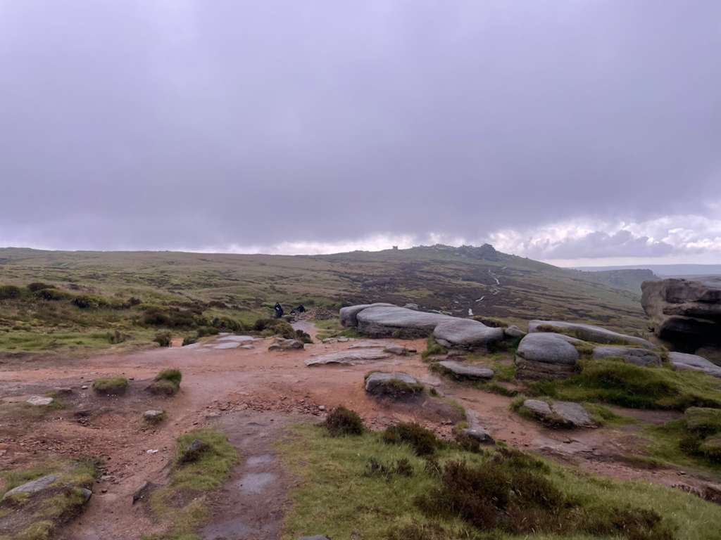
The ascent of Kinder Scout via Grindsbrook Clough is one of the most popular and exciting ways to reach the summit plateau. This route is not a simple stroll; it involves a sustained Grade 1 scramble that requires the use of hands and careful footwork. The reward for your effort is an unparalleled sense of achievement and some of the most dramatic views in the Dark Peak, stretching across the Vale of Edale and, on exceptionally clear days, as far as Snowdonia, some 94 miles away. This is a serious Kinder Scout day hike that takes you into remote and exposed upland terrain. The route is steeped in history, from the 17th-century packhorse routes to the landscapes that inspired the 1932 Mass Trespass, a pivotal event that helped secure public access to the countryside and led to the creation of Britain’s National Parks. This guide provides a detailed, safety-focused breakdown to help you tackle this iconic adventure with confidence.
Route Overview and Key Facts
Before setting out, it is crucial to understand the nature of this walk. It is a strenuous undertaking on varied and often challenging terrain. Below are the key statistics for this circular Kinder Scout walk.
- Route Type: Challenging circular walk with scrambling.
- Start/Finish Point: Edale Village Car Park, Hope Valley, S33 7ZQ.
- Grid Reference: SK 124 853.
- Distance: Approximately 8 miles / 13 km.
- Total Ascent: Around 806 metres / 2,644 feet.
- Highest Point: The Kinder Scout plateau, with the official summit at 636 metres (2,087 feet). The popular Kinder Low trig point sits at 633 metres.
- Walk Time: 5-6 hours, depending on fitness, conditions, and time spent on the plateau.
- Key Highlights: The village of Edale, the Grade 1 scramble up Grindsbrook Clough, panoramic views from the plateau edge, unique gritstone formations like the Wool Packs and Crowden Tower, and the historic descent via Jacob’s Ladder.
- Ordnance Survey Map: OS Explorer OL1 – The Peak District (Dark Peak Area). This is an essential piece of kit and should not be substituted for a less detailed map.
Starting Point and Parking at Edale
The walk begins in the popular village of Edale, the official start of the Pennine Way. Access and facilities are excellent, but its popularity means planning ahead is essential, especially on weekends and holidays.
By Car: The primary parking is the Edale Car Park (postcode: S33 7ZQ). This is a pay-and-display car park with 138 spaces. As of late 2025, parking for up to 10 hours was approximately £6.80. Payment can be made with cash or via the PayByPhone app (location code 806749). It is highly advisable to download and set up the app before you arrive, as mobile signal in the valley can be unreliable. This car park fills up extremely quickly, so an early start (before 9 AM on weekends) is strongly recommended. An overflow car park is available a short distance from the train station, typically costing £5 for all-day parking.
By Public Transport: Edale is exceptionally well-served by rail. Edale train station is on the Hope Valley Line, with regular services running between Manchester (approx. 40 mins) and Sheffield (approx. 35 mins). This makes it a fantastic option for leaving the car behind and reducing pressure on the village. The start of the walk is just a short walk from the station.
Facilities: Public toilets are available at the main Edale car park at the start and end of your walk. There are no other facilities on the route itself. Edale village offers excellent options for pre-hike fuel or post-hike refreshment, including two pubs, The Rambler Inn and The Old Nags Head, and several cafes. Please note that as of March 2025, the Peak District National Park-operated visitor facilities at Edale are no longer available.
Step-by-Step Grindsbrook Clough Route Description
This route follows an anti-clockwise direction, tackling the scramble up Grindsbrook Clough and descending via the stone steps of Jacob’s Ladder. This is generally considered the best direction, as scrambling up is safer and more enjoyable than scrambling down.
Stage 1: Edale to the Base of Grindsbrook Clough
From the Edale car park, walk down the steps beside the toilet block and turn right onto the main road. Follow this road through the village, passing under the railway bridge and past The Rambler Inn. Continue for about 750 metres until you reach The Old Nags Head pub, the official start of the Pennine Way. Walk past the pub for another 100 metres and look for a signpost on your right for Grindsbrook. Go down the steps, cross a narrow wooden bridge over the brook, and follow the flagstone path as it bears left. This well-maintained path leads you through fields and a small wooded area for about 800 metres, gradually inclining as it runs parallel to Grinds Brook.
Stage 2: The Scramble up Grindsbrook Clough
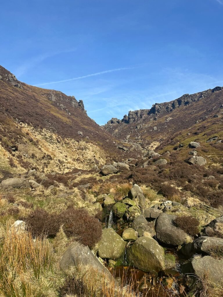
After about a kilometre, the clear track gives way to a much rockier and wilder path as you enter the mouth of the clough proper. This is where the adventure begins. The route now involves picking your way up the rocky streambed, crossing the water as needed to find the best line. The path becomes progressively steeper and more hands-on. This is the famous Grindsbrook Clough route, a classic Grade 1 scramble. About a mile into the clough, you may notice an obvious fork; the left-hand fork is the more common route, while the right-hand fork offers a slightly more challenging scramble. The final push to the plateau is the steepest and most demanding section, requiring confident movement over large boulders. Upon reaching the top, you are greeted by a large stone cairn and the sudden, vast openness of the Kinder plateau.
Stage 3: Traversing the Kinder Plateau
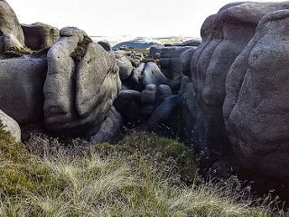
From the cairn at the top of Grindsbrook, turn left (west) and follow the clear flagstone path that runs along the southern edge of the plateau. This path offers magnificent views down into the Vale of Edale to your left. After about 1km, you will reach the top of Crowden Clough. Cross the stream—which can be tricky after heavy rain—and continue towards the impressive gritstone outcrop of Crowden Tower. From here, the path becomes less distinct as it winds its way for the next kilometre through the surreal landscape of the Wool Packs, a collection of fantastically weathered gritstone boulders that look like giant bales of wool. The terrain here is peaty and can be very boggy. Navigate carefully past Pym Chair and on towards the rock formation known as Noe Stool.
Stage 4: Descent via Jacob’s Ladder to Edale
From Noe Stool, a clear path descends towards a large cairn where you join the Pennine Way national trail. Follow this famous path as it turns left, descending gradually past Swine’s Back. You will soon reach the top of Jacob’s Ladder, marked by another cairn and a signpost. The path now descends steeply via a series of large, stone-pitched steps. This historic route was once a packhorse trail for transporting goods over the Pennines. At the bottom, you cross a beautiful Grade II listed 17th-century packhorse bridge over the River Noe. Once across the bridge, follow the clear track through a gate. The path leads you past a small row of houses at Upper Booth. At the old red phone box, turn left and follow the signed path through the farm. Take the second footpath through a small gate, heading east across fields and over a small hill. This path eventually leads you back to The Old Nags Head, from where you can retrace your steps through the village to the car park.
Difficulty, Scrambling and Terrain
This is a strenuous and challenging Peak District hill walk that should not be underestimated. A good level of hill fitness is essential to enjoy the day safely. The terrain is highly varied, encompassing everything from paved village lanes to wild, pathless moorland.
The main event is the scramble up Grindsbrook Clough. It is graded as an ‘easy’ Grade 1, which makes it an excellent introduction to scrambling for confident hill walkers. A Grade 1 scramble is defined as a route where the hands are required for progress, but it falls short of technical rock climbing. The holds are generally large and plentiful. However, the rocks can become extremely slippery and treacherous in wet or icy conditions, significantly increasing the difficulty. If conditions are poor or you are not confident, it is wise to choose an alternative route. For other challenging routes, consider the Mam Tor Great Ridge Walk or the gentler Dovedale Stepping Stones Walk.
Beyond the scramble, you will encounter well-laid flagstone paths, designed to protect the fragile peat beneath. However, large sections of the plateau between Crowden Tower and Noe Stool are boggy and peaty, with indistinct paths that can be difficult to follow. The descent via Jacob’s Ladder is steep and punishing on the knees but is on a well-made, if rocky, path. Sturdy, waterproof hiking boots with good ankle support and excellent grip are non-negotiable for this route.
Safety, Weather and Plateau Navigation Advice
Safety is paramount on a walk of this nature. The Kinder plateau is a serious mountain environment where conditions can change in an instant. It is notorious for its navigational challenges.
Navigation: The single most important safety consideration is navigation. In poor visibility, such as mist, low cloud, or driving rain, the featureless peat bog of the plateau can become completely disorienting. Paths disappear, and it is incredibly easy to become lost. You must carry a physical map (OS Explorer OL1) and a compass, and, crucially, you must know how to use them. A GPS device or a smartphone with an app like OS Maps is an excellent backup, but should never be your primary tool due to reliance on battery power. Ensure your device is fully charged and consider carrying a power bank.
Weather: Always check the mountain-specific weather forecast before you leave. The Met Office and the Mountain Weather Information Service (MWIS) provide detailed forecasts for the Peak District. Be prepared for the weather on the summit to be significantly colder, windier, and wetter than in the Edale valley. Always carry full waterproofs (jacket and trousers), a hat, gloves, and extra warm layers, regardless of the forecast when you set off.
Conservation and Footpaths: Kinder Scout is a National Nature Reserve and a site of immense ecological importance. The landscape you see today is the result of decades of restoration work by organisations like the National Trust and the Moors for the Future Partnership. When you walk on the stone flag paths, you are directly helping to protect the fragile blanket bog habitat beneath. This habitat was severely eroded by centuries of pollution and high visitor numbers, leaving vast areas of bare, black peat. The restoration, which is expected to continue until 2025, involves re-vegetating bare peat and laying paths to channel footfall. This work helps to store carbon, improve water quality for downstream communities, and create a more resilient habitat for wildlife. While the stone paths may seem to detract from the ‘wild’ feeling, they are an essential management tool to balance recreation with conservation on this popular mountain. The Peak District National Park Authority has approved these works as necessary for the long-term health of the moorland. Please stick to the paths where they exist to prevent further erosion.
In an Emergency: Be prepared for self-reliance. Mobile signal is patchy at best. Let someone know your intended route and expected return time. Carry a whistle, a headtorch (even on a day walk), and a small first aid kit. In a genuine emergency, dial 999 or 112 and ask for Police, then Mountain Rescue. For excellent advice on staying safe in the hills, consult the experts at Mountain Rescue England & Wales.
